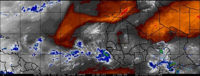
We finally have a tropical depression that appears to be on tract to become the first named tropical system of the year. It is fairly late in the tropical season not to have had a named tropical storm even though we are still a month away from the peak of the tropical season. On the tropical weather map we see a couple of tropical waves moving into the Lesser Antilles today, our tropical depression, and another tropical low that has just moved off the African Coast. Also noted on the weather map, a strong ridge of high pressure located across the northern Atlantic with a weak trough of low pressure located between two areas of high pressure. It is this weak trough that could pull TD#2(Ana?) to the north and keep it away from the mainland. A couple of mid range computer models are hinting this could happen while others are showing the high pressure ridge increasing keeping the tropical depression on a westerly course. It is interesting that most long range models are not picking up on TD#2(Ana?) becoming very strong but weakening the system as it moves west. This is more than likely because the dry air located on the southern fringe of the strong ridge of high pressure that the system could ingest.

However, most long range models are picking up on the Tropical Low(TD#3) staying farther south of the dry air and becoming an intense tropical storm or weak hurricane as it heads towards the Lesser Antilles early next week. So we could see Ana form within the next 48 hours followed by a stronger system (Bill) next week.

One thing is for sure, the tranquil tropical season so far is about to get a little more interesting over the next few days.

No comments:
Post a Comment