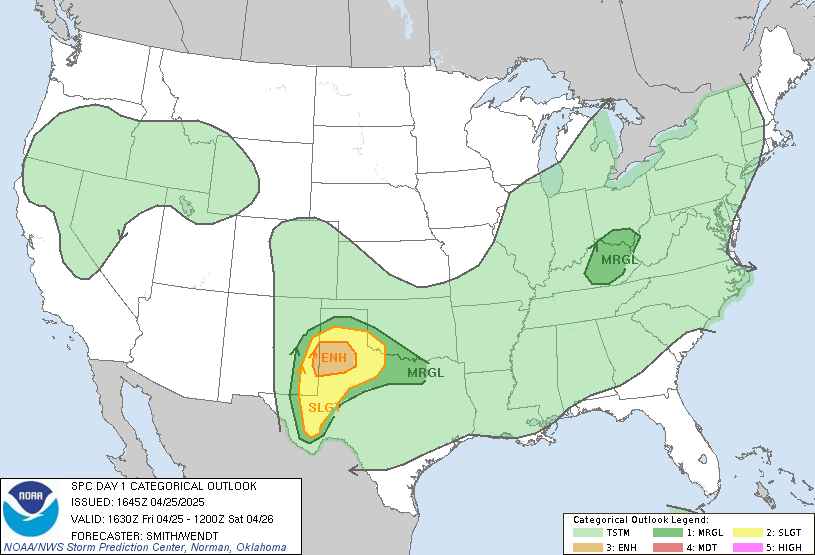
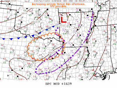
 A very unusual weather pattern is shaping up across East Texas for this late July afternoon. It is almost unheard of to get a strong jet stream to move into the southern plains this late in the season but, that is what is about to happen. So what does all this mean? It means there is a chance of severe weather across East Texas including tornadoes later on this afternoon.
The line of storms from this morning has used up a good bit of the energy in the atmosphere available for storms but clearing skies behind this line is allowing the sun to recharge the atmosphere. A cold front in Southern Oklahoma will sag south this afternoon into the northern counties of East Texas acting as a firing mechanism for additional storms. The amount of available energy for storms along the Red River Valley is already ample for severe storm development. In a normal late July weather pattern, any severe storm that develops would be what we call a pulse storm, meaning they quickly pulse up to severe limits and die out almost as fast. Thanks to a stronger upper level jet stream today, the storm’s core will be pushed away from the updraft allowing it to live longer. Thanks to an area of low pressure at the surface to our northeast, we have southwesterly winds at the surface. These winds quickly change direction as you increase in height throughout the atmosphere giving use enough wind shear for supercell thunderstorms, which we mainly find in East Texas during the Spring months. With supercells, the threat for strong gusty winds, large hail, and even isolated tornadoes will be possible. Stay tuned to your East Texas News Leader throughout the day for the latest.

No comments:
Post a Comment