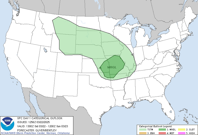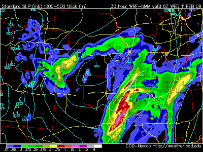
We are watching a developing storm system that promises to bring some rough weather to parts of the Southern Plains, including parts of East Texas. Right now the Storm Prediction Center has most of East Texas under a moderate risk for severe weather, including the possibility of strong tornadoes. Looking at the latest data this morning, I would not be surprised to see a High Risk issued for areas north of I-20 this afternoon. We are just waiting to see exactly where the surface low will develop to get a better outline of where the greatest risk of severe weather will be this evening and overnight.
So here is the set up: At the surface, warm moist air will spread across most of Central and East Texas as well as Southeast Oklahoma and most of Arkansas. Later this afternoon an area of low pressure will develop near the Texas and Oklahoma Panhandles. This will force winds at the surface to the south southeast across most of the warm moist air.

Just above this surface layer, winds will be out of the southwest over 50mph at times. It is this turning of winds that will give the atmosphere enough spin for the possibility of a few tornadoes, some of which could be strong. Around 5PM this afternoon we will start to see a few storms fire along a dry line along the I-35 corridor, near Dallas. These storms will rapidly become severe and move east. One or two storms could move into East Texas. These storms have the greatest potential to produce strong tornadoes. Will these storms move into East Texas? There is a chance these storms could move into Oklahoma and miss East Texas.

Around 9PM this evening, I line of strong storms will begin to develop along a fast moving west of Dallas. This should be a solid line producing very strong winds and maybe an isolated tornado entering East Texas around midnight and exiting East Texas around 3AM, give or take an hour. Right now I am expecting widespread wind damage with these storms. We can expect tree damage and down power lines as this line moves through.


No comments:
Post a Comment