
The surface low in question late this morning has become absorbed by the upper level low pressure over west central Florida. Our main focus will be this upper level low as it moves out into the central Gulf of Mexico. It still appears the chances of this system developing into a Tropical Storm are slim but we will continue to watch this system closely.
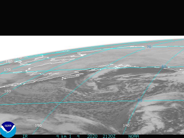
The official start to the Atlantic Hurricane season does not start until June 1st however, things are getting a bit interesting off the East Coast of Florida. A surface low is trying to get its act together in the Bahamas today and will drift west northwest over the next couple of days. Now it is a little early to see tropical development but it is not unheard of the have a system develop this early in the year. We have seen years where tropical storms and even hurricanes form in May. In fact in 1951 Hurricane Able developed on May 15th and reached category 3 status; the earliest storm to do so. Now the perfect conditions for tropical development would include warm sea surface temperatures along with light atmosphere winds. Sea Surface temperatures along the projected path of this developing system are marginal, in the upper 70s to near 80 degrees. Normally we would like to see sea surface temperatures in the low 80s for tropical development. Also, the close proximity of the surface low to an upper level low pressure over west central Florida is causing atmospheric winds to be a little stronger than usual meaning this developing system will undergo some wind shear. So even though there is a lot going against this developing system we will continue to monitor it closely. If this system can develop and reaches tropical storm strength it would be named Ana. Below is a chart showing the projected paths different tropical forecast models are projecting. If this system takes a more southerly track, the chances of it developing will increase greatly as sea surface temperatures in the central Gulf are above 80 degrees. Also, if the surface low fails to develop, there is a chance the upper level low over Florida could develop into a surface low over the central Gulf, much like Hurricane Able did in 1951. So we could see an early start to the 2009 Atlantic Hurricane Season.

No comments:
Post a Comment