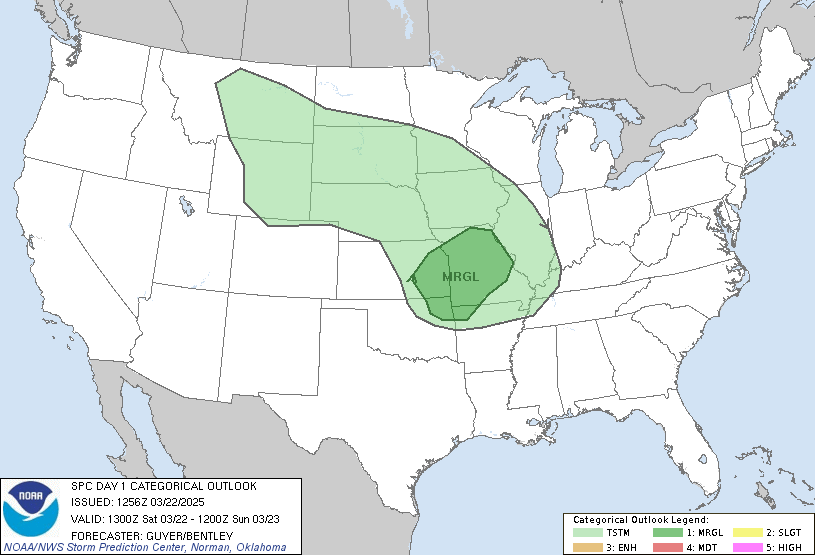
After 80 degree temperatures the last five days across East Texas, an abrupt end to the warmth is coming. A strong cold front will move into East Texas late tonight bringing a chance of showers and thunderstorms to the area, a few of which could be strong. There is a slight chance on or two storms could form later this afternoon and any storm that does develop could produce strong gusty winds and small hail. Most of the energy needed for strong to severe thunderstorms will move to our north so I am not expecting a great deal of severe weather.

I am however expecting a large area of East Texas to experience heavy rain. They way it looks now, most of East Texas should see between 2 and 3 inches of rain with a few spots receiving more than 5 inches before Saturday. This would put a huge dent in the rainfall deficit across East Texas, which is over 5 inches for most of the area.

In addition to the heavy rainfall across East Texas, much colder weather will be moving into the area. Temperatures will fall for most of the day tomorrow, reaching the upper 40s by the evening and not getting out of the 40s until late Saturday. With a northeast wind around 10 to 15 MPH, wind chill temperatures will run in the 30s for most of Thursday and Friday.

No comments:
Post a Comment