We had a pretty successful chase Tuesday evening as we left Tyler around 5:00PM and entered the Arlington area around 7:30PM. As we approached the Dallas Forth Worth Metroplex we noticed a rapidly developing thunderstorm to our west. I grabbed the laptop and started up the radar and saw this storm was very severe, showing signs of up to 3” diameter hail. (2” diameter hail was confirmed later) This storm was still over 100 miles to our west and we were going to have to enter Dallas during rush hour traffic. Not wanting to miss the opportunity to witness this large storm we drove through Dallas and ended up in Arlington a few miles in front of the storm. The large display of mammatus clouds were taken just east of Downtown Dallas and the rotating high based wall cloud was over Arlington. With the large temperature dewpoint spread, this thunderstorm had a very high cloud base (0Z RUC analysis showed LCL, lifted condensation level, at 2200 meters) so the tornado threat was very small. Another aspect going against the tornado production of this storm was the outflow was well east of the rotation under cutting the updraft to the storm. So in my mind this was a win win situation with a very photogenic storm that was not able to produce a tornado in a densely populated area. I hope you enjoy the photos.
***Update*** The surface low in question late this morning has become absorbed by the upper level low pressure over west central Florida. Our main focus will be this upper level low as it moves out into the central Gulf of Mexico. It still appears the chances of this system developing into a Tropical Storm are slim but we will continue to watch this system closely.
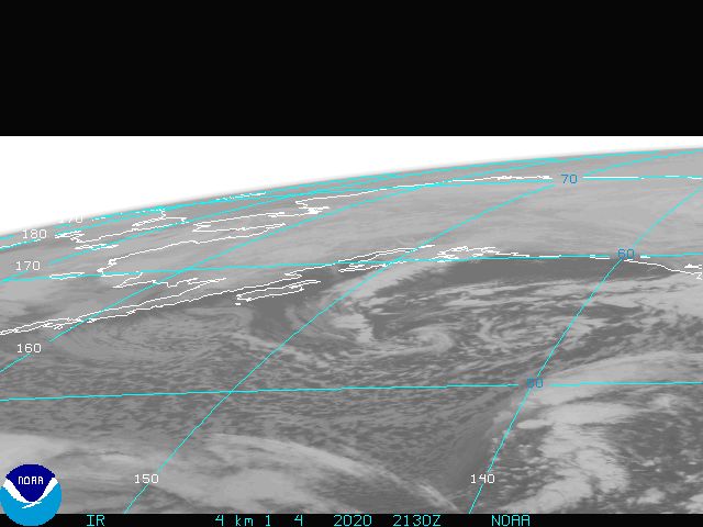
The official start to the Atlantic Hurricane season does not start until June 1st however, things are getting a bit interesting off the East Coast of Florida. A surface low is trying to get its act together in the Bahamas today and will drift west northwest over the next couple of days. Now it is a little early to see tropical development but it is not unheard of the have a system develop this early in the year. We have seen years where tropical storms and even hurricanes form in May. In fact in 1951 Hurricane Able developed on May 15th and reached category 3 status; the earliest storm to do so. Now the perfect conditions for tropical development would include warm sea surface temperatures along with light atmosphere winds. Sea Surface temperatures along the projected path of this developing system are marginal, in the upper 70s to near 80 degrees. Normally we would like to see sea surface temperatures in the low 80s for tropical development. Also, the close proximity of the surface low to an upper level low pressure over west central Florida is causing atmospheric winds to be a little stronger than usual meaning this developing system will undergo some wind shear. So even though there is a lot going against this developing system we will continue to monitor it closely. If this system can develop and reaches tropical storm strength it would be named Ana. Below is a chart showing the projected paths different tropical forecast models are projecting. If this system takes a more southerly track, the chances of it developing will increase greatly as sea surface temperatures in the central Gulf are above 80 degrees. Also, if the surface low fails to develop, there is a chance the upper level low over Florida could develop into a surface low over the central Gulf, much like Hurricane Able did in 1951. So we could see an early start to the 2009 Atlantic Hurricane Season.
It has been a couple of busy weeks in the weather department tracking storms however, I did get some time to break away from East Texas and do some chasing in the Texas Panhandle and far northwestern Oklahoma. The time line for my chase was small, only one day, and the outlook for severe weather was promising. So it was all or nothing. We left early Saturday morning, the 25th of April, and headed northwest to Shamrock Texas, a small town on I-40 in the Eastern Panhandle. Here we met up with many other chasers how were in for a two day chase opportunity as an upper level disturbance moved out of the Rockies into the Great Plains.
Once we reached our targeted location, we waited for the signs of thunderstorm development, towering cumulus clouds to the west. Finally around 4:30, the first signs of thunderstorm development occurred. It was this storm that would tease and tempt us for the three ours across the rolling plains of the Eastern Panhandle and Northwestern Oklahoma throughout the evening hours.
This storm quickly developed into a supercell storm producing large hail and strong gusty winds. The storm started to reach severe levels near Mobeetie, TX where it was showing classic signs of a supercell structure. In the image of the storm you can notice a cloud lowering, where warm air is being ingested into the storm. This would later form into to a rotating wall cloud which produced a weak, short lived tornado outside Mobeetie.
Here you can see the Rear Flank Downdraft (RFD) punching into the back of the storm, helping to promote rotation under the updraft. It was shortly after this picture when the weak, short lived tornado touched down and moved into a field of cattle, scarring the you know what out of them. Unfortunately form my position, I could not see the rotation on the ground.
The storm also produced some large hail. These stones, about the size of golf balls, where found in Briscoe, TX where we did measure a few stones to 2.5” in diameter, or about the size of a tennis ball.
The storm continued to intensify as we drove east to Alison, TX show a bell shape lowering with rotation. It is at this time we really began to believe this storm would produce a significant tornado. As we crossed east into far northwestern Oklahoma, the wall cloud began to rotate significantly and produce multiple funnels. At one point we almost looked as though this storm would produce twin tornadoes that could lead to a strong, multi vortex tornado.
Over the next two hours this storm showed signs of strong rotation and teased us with the threat of tornadoes but, in the end, it would be a gusty wind and large hail producer. As the sunset we finally turned south to head home.
On the way we passed under a sever hail producing storm. Noticing the storm was producing large hail we decided to find a gas station overhang and ride the storm out, along with many other cars. In the next video you can see the hail as it falls and grows to the size of quarters.
This storm could never make up its mind. As the storm weakened we drove back on the interstate towards Oklahoma City. The storm suddenly intensified again and started dropping up to ping pong ball size hail, very loud while driving. So we looked for another gas station overhang and waited this storm out. As the storm moved north of the interstate we saw a great opportunity for some night lightning shots. The only problem was the strong southerly inflow feeding into this storm along with the nocturnal low level jet beginning to form. I have never witnessed clear skies overhead with 40 to 50 mph winds feeding into a storm over twenty miles away. I tried to set the shutter speed on my camera at 20 seconds to get an amazing backlit structure shot but, the winds were too much form my tripod. The photos turned out very blurry thanks to the camera movement. The two photos below were shot leaving the shutter speed at 8 seconds.
Finally I would like to give a special shout out to my new storm chasing companions and friends Paul and Maria Lachowsky. They drove me all over the rolling plains in pursuit of severe weather that Saturday. They are almost as much of a “Weather Geek” as I am and with a little coaching, I think I can get them to my level.